 Guyane-SIG
Carte bathymétrique de Cayenne, secteur du port (1956)
Carte scannée de la bathymétrie du port de la commune de Cayenne.
Simple
- Date (Revision)
- 1956-01-01T00:00:00
- Edition
- 4
- Status
- Completed
Processor
SHOM - Service Hydrographique et Océanographique de la Marine
13 rue du Chatellier - BP 30316
,
BREST
,
29603
,
France
Distributor
CTG - Collectivité Territoriale de Guyane
-
Service de l’Information Géographique
4179 route de Montabo - Carrefour de Suzini
,
CAYENNE
,
97300
,
Guyane Française
- Maintenance and update frequency
- Unknown
- Keywords
-
- cayenne
- guyane
- 1956
- bathymétrie
- Region
-
- French Guiana
- GEMET - INSPIRE themes, version 1.0
-
- Altitude
- Spatial representation type
- Grid
- Denominator
- 10000
- Metadata language
- Français
- Character set
- UTF8
- Topic category
-
- Elevation
N
S
E
W
))
Distributor
Distributor
CTG - Collectivité Territoriale de Guyane
-
Service de l’Information Géographique
4179 route de Montabo - Carrefour de Suzini
,
CAYENNE
,
97300
,
Guyane Française
- Name
- JPG
- OnLine resource
- BATHY_CAYENNE_1956_PORT_CAYENNE.jpg ( WWW:DOWNLOAD-1.0-http--download )
- Hierarchy level
- Dataset
- File identifier
- 28c51d0e-e4b4-4ec1-945e-0968e35fc7ff XML
- Metadata language
- Français
- Character set
- UTF8
- Hierarchy level
- Dataset
- Date stamp
- 2014-09-26T19:04:25
- Metadata standard name
- ISO 19115:2003/19139
- Metadata standard version
- 1.0
Point of contact
CTG - Collectivité Territoriale de Guyane
-
Service de l’Information Géographique
4179 route de Montabo - Carrefour de Suzini
,
CAYENNE
,
97300
,
Guyane Française
Overviews
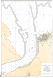
thumbnail
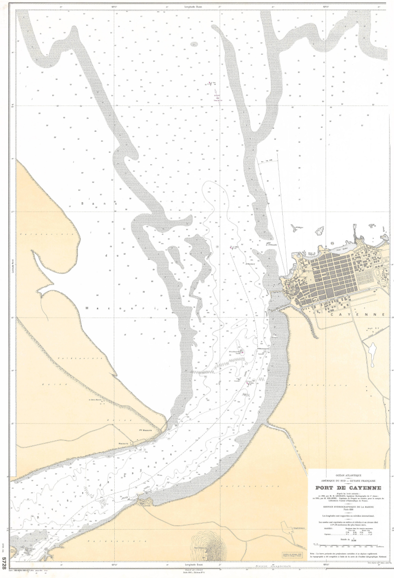
large_thumbnail
Spatial extent
N
S
E
W
Provided by

Associated resources
Not available