 Guyane-SIG
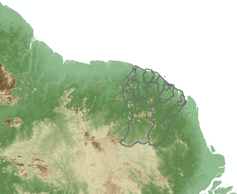
Fond de carte - SRTM 30M (2000)
Image couleur (relief + ombrage) réalisée à partir du NASA SRTM V3.0 (SRTM PLUS) de 2000 sur la Guyane et une partie des pays voisins.
Simple
- Date (Publication)
- 2015-07-23
- Identifier
- SRTM_30M_F
- Status
- Completed
Point of contact
CTG - Collectivité Territoriale de Guyane
-
Service de l’Information Géographique
4179 route de Montabo - Carrefour de Suzini
,
CAYENNE
,
97300
,
Guyane Française
- Maintenance and update frequency
- As needed
- Keywords
-
- carte de base
- guyane
- 2000
- srtm
- mnt
- Region
-
- French Guiana
- GEMET - INSPIRE themes, version 1.0
-
- Altitude
- Classification
- Unclassified
- Spatial representation type
- Grid
- Distance
- 30 m
- Metadata language
- Français
- Character set
- UTF8
- Topic category
-
- Elevation
N
S
E
W
))
- Reference system identifier
- EPSG / RGFG95 / UTM zone 22N (EPSG:2972) / 7.4
- OnLine resource
-
altimetrie:SRTM_30M_F
(
OGC:WMS
)
altimetrie:SRTM_30M_F(OGC:WMS)
- Hierarchy level
- Dataset
Conformance result
- Date (Publication)
- 2010-05-03
- Explanation
- Non evalue
- File identifier
- 2a316bfc-ff4a-4ccb-95a7-8ce363adcb4f XML
- Metadata language
- Français
- Character set
- UTF8
- Hierarchy level
- Dataset
- Date stamp
- 2015-11-12T13:55:46
- Metadata standard name
- ISO 19115:2003/19139
- Metadata standard version
- 1.0
Point of contact
CTG - Collectivité Territoriale de Guyane
-
Service de l’Information Géographique
4179 route de Montabo - Carrefour de Suzini
,
CAYENNE
,
97300
,
Guyane Française
Overviews

thumbnail
large_thumbnail
Spatial extent
N
S
E
W
Provided by

Associated resources
Not available