Guyane-SIG
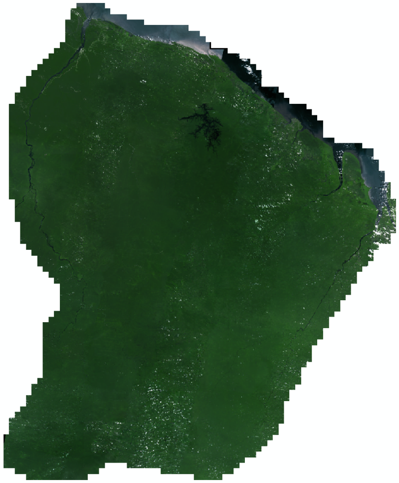
MOSAIQUE GUYANE 2015
Couverture de la Guyane par des images PLEIADES-SPOT 6-7 ortho‐rectifiées et mosaïquées.
Simple
- Date (Creation)
- 2015-12-31
- Identifier
- 9b381d84-9d8c-4fbb-9e95-1479e6ebd00b
- GEMET - INSPIRE themes, version 1.0
-
- Étendue géographique des données
- Theme
-
- Ortho-imagerie
- French Guiana
- guyane
- Imagerie/Cartes de base/Occupation des terres
- 2015
- carte de base
- ortho-image
- Use limitation
- Données ouvertes
- Access constraints
- otherRestrictions Other restrictions
- Other constraints
- Données ouvertes
- Spatial representation type
- vector Vector
- Metadata language
- freFrançais
- Topic category
-
- imagerie-et-occupation-du-sol
- OnLine resource
-
2015_ORTHOSAT-PLEIADES-SPOT6-7_IGN
(
OGC:WMS
)
None
- OnLine resource
-
2015_ORTHOSAT-PLEIADES-SPOT6-7_IGN
(
OGC:WCS
)
None
- Hierarchy level
- dataset Dataset
- Statement
- Mosaïque d’images 2015 des satellites Pléiade et Spot 6/7 ré-échantillonnées à la résolution de Spot (1,5 m)
- File identifier
- 9b381d84-9d8c-4fbb-9e95-1479e6ebd00b XML
- Metadata language
- freFrançais
- Hierarchy level
- dataset Dataset
- Date stamp
- 2015-12-31
- Metadata standard name
- INSPIRE Metadata Implementing Rules
- Metadata standard version
- Technical Guidelines based on EN ISO 19115 and EN ISO 19119 (Version 1.2)