Guyane-SIG
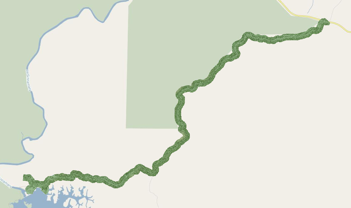
Produits ORTHO / ALTI - route de Petit-Saut (2015) - MNS à 1m - Fusion ombrage
Modèle Numérique de Surface (MNS) réalisé en 2015 sur la route de Petit-Saut.
Simple
- Date (Creation)
- 2015-07-10
- Identifier
- e668ccd5-593c-4a87-8673-b2342b61eafa
- GEMET - INSPIRE themes, version 1.0
-
- Étendue géographique des données
- Theme
-
- Altitude
- altimétrie
- 2015
- mns
- Sinnamary
- Kourou
- petit-saut
- Access constraints
- otherRestrictions Other restrictions
- Spatial representation type
- vector Vector
- Metadata language
- freFrançais
- Topic category
-
- imagerie-et-occupation-du-sol
- Hierarchy level
- dataset Dataset
- Statement
- Acquisition LiDAR effectuée par la société ALTOA via le laser scanner LMS-Q7810 de RIEGL et production d'un MNS.
- File identifier
- e668ccd5-593c-4a87-8673-b2342b61eafa XML
- Metadata language
- freFrançais
- Hierarchy level
- dataset Dataset
- Date stamp
- 2015-07-10
- Metadata standard name
- INSPIRE Metadata Implementing Rules
- Metadata standard version
- Technical Guidelines based on EN ISO 19115 and EN ISO 19119 (Version 1.2)