 Guyane-SIG
series
Type of resources
Available actions
Topics
Keywords
Provided by
Years
Formats
Representation types
Update frequencies
status
Scale
Resolution
-
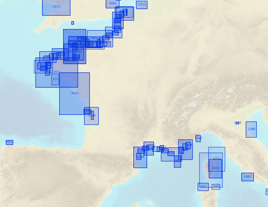
Non-georeferenced digital images in JPEG2000 format from former hydrographical survey fair sheets obtained from Shom's historical archives.
-

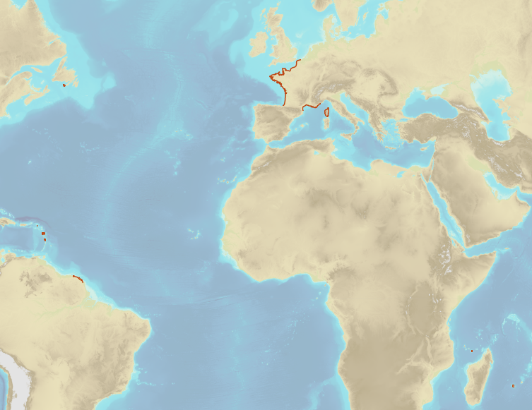
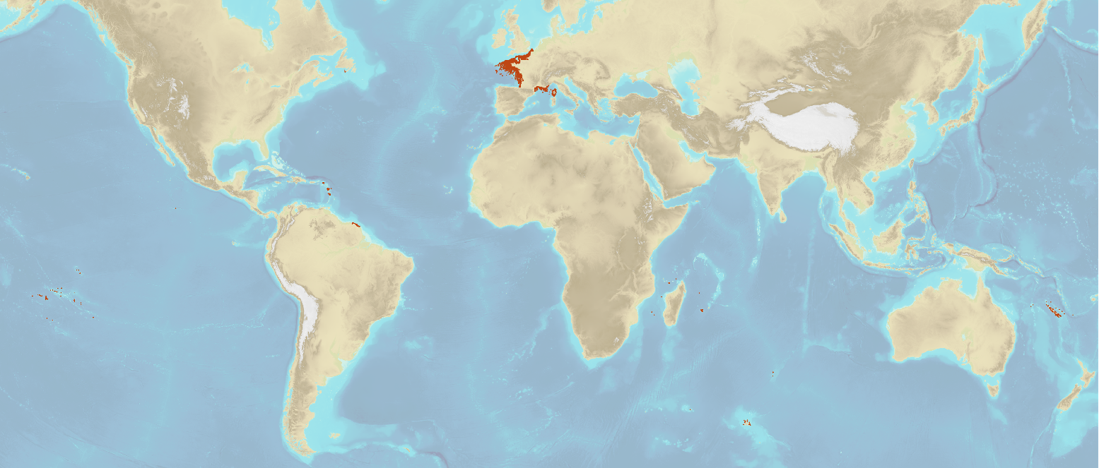
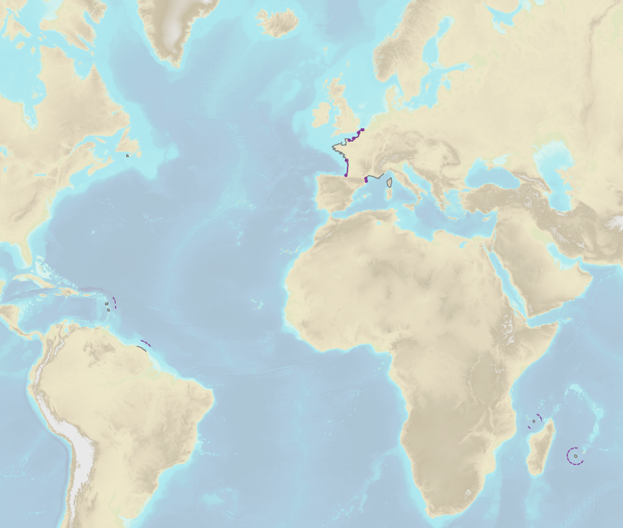
The "Sovereignty and jurisdiction maritime spaces of France" product contains the areas of sovereignty and jurisdiction maritime spaces of France all around the world.<br /><br /> It is constituted of 2D areas objects split into four categories :<br /> - the territorial sea (from baselines to a distance of 12 nautical miles or to maritime boundaries with neighbouring countries);<br /> - the contiguous zone (from 12 nautical miles to 24 nautical miles from the baselines or to maritime boundaries with neighbouring countries);<br /> - the exclusive economic zone (EEZ) (from 12 nautical miles to 200 nautical miles from the baselines or to maritime boundaries with neighbouring countries);<br /> - the continental shelf over the 200 nautical miles limit (from 200 nautical miles from the baselines to the limits recommended by the Commission on the Limits of the Continental Shelf (CLCS) or to the maritime boundaries with neighbouring countries).<br /> Internal waters, which constitute a space of sovereignty beyond the baselines, are not included in the "Sovereignty and jurisdiction maritime spaces of France" product.<br /> The "Sovereignty and jurisdiction maritime spaces of France" product may not be considered as an enforceable right. Only the “Maritime limits and boundaries” product, that can be displayed and interrogated on the website data.shom.fr (maritime boundaries category) and also downloaded on the French national portal of maritime limits (https://maritimelimits.gouv.fr), may be considered so.<br /><br /> December 2022 version.
-
Shom is the national referent for the level of the sea in situ on all areas under French jurisdiction. In this capacity, he assures under the acronym REFMAR different coordination functions in the collection and dissemination of public data related to water level observations, in order to promote their use in multiple applications within the framework of international recommendations.
-

Shom manages a network of permanent digital coastal tide-gauges on French coasts: the RONIM Sea Level Observation Network. Most tide-gauge observatories are partnered with one or more local partners.<br /><br /> Four main types of data are available for download:<br /> - “Raw high frequency" data: raw observations neither validated nor evaluated, obtained directly from the sensor. 1-minute measurement; integration time 15 seconds (on the minute); sampling period: 1 second.<br /><br /> - "Raw non-real time" data: raw observations neither validated nor evaluated, obtained directly from the sensor. 10-minute measurement; integration time 121 seconds (around every 10 minutes); sampling period: 1 second.<br /><br /> - "Validated non-real time" data: observations checked and validated by Shom from the "Raw non-real time" data. 10-minute measurement; integration time 121 seconds (around every 10 minutes); sampling period: 1 second.<br /><br /> - "Validated hourly" data: observations checked and validated by Shom, generated from "Validated non-real time" data. Hourly measurement obtained from the Vondrak filter with triangular weighting. The hourly height cannot be calculated in the event of an observation gap greater than 1.5 hours.
-
French Ministry of Culture / DRASSM – Shom The product "Limit of preventive archeology licence fee" contains the limits for the preventive archeology licence fee (1 nautical mile) as defined in the French Heritage Code. This limit is managed by the Department of Underwater Archeological Research (DRASSM) of the Ministry of Culture. This limit, defined by the Heritage Code at 1 nautical mile from the low-water line, permits to delineate the areas where the licence fee for preventive archeology at sea is applied. In Mainland France in the Gironde estuary, the limit for the preventive archeology licence fee is stopped by the crosswise limit of the sea as defined by the decree of 26 August 1857. In French Guiana, the limit for the preventive archeology licence fee is stopped in Maroni and Oyapock rivers by the crosswise limits of the sea respectively defined the order of 30 January 1991 and the order No 863 of 26 May 1986, until meeting the land boundary which delineates the rivers with the neighbouring States. The product "Limit of preventive archeology licence fee" is to use in addition to the digital product “Maritime Limits and Boundaries” of Shom (French: “Délimitations maritimes”) which represents the limits of the French maritime spaces of sovereignty or jurisdiction through the World. The product “Maritime Limits and Boundaries” (French: “Délimitations maritimes”) can be viewed on data.shom.fr (Maritime boundaries Category) and downloaded on the French national portal of maritime limits (https://maritimelimits.gouv.fr).
-
The product "Wrecks and obstructions" contains a description of wrecks and obstructions in the French Exclusive Economic Zone (EEZ) as 2D point objects. Objects of the product "Wrecks and obstructions" are divided into 2 classes: - Wrecks (WRECKS): all or part of a stranded or sunken ship or aircraft; - Obstructions (OBSTRN): object of an artificial nature other than a wreck (for example: container, lost anchor). This product does not concern floating or drifting objects (containers, debris, buoys out of position, ...) which position changes rapidly.
-
French Ministry of Agriculture and Food / DRASSM - Shom<br /> The product "Limits related to fishery uses" contains the limits related to fishery uses as defined in the French or European legislations. Those limits are managed by the Directorate for Sea Fisheries and Aquaculture (DPMA) of the Ministry of Agriculture and Food. <br /> Those limits are divided into three categories : <br /> - the inner limit of the coastal waters (6 nautical miles) ; <br /> - the 3-nautical-mile limit ; <br /> - the limit of fisheries for overseas territories (100 nautical miles).<br /><br /> The product "Limits related to fishery uses" is to use in addition to the digital product “Maritime Limits and Boundaries” of Shom (French: “Délimitations maritimes”) which represents the limits of the French maritime spaces of sovereignty or jurisdiction through the World.<br /> The product “Maritime Limits and Boundaries” (French: “Délimitations maritimes”) can be viewed on data.shom.fr (Maritime boundaries Category) and downloaded on the French national portal of maritime limits (https://maritimelimits.gouv.fr).
-
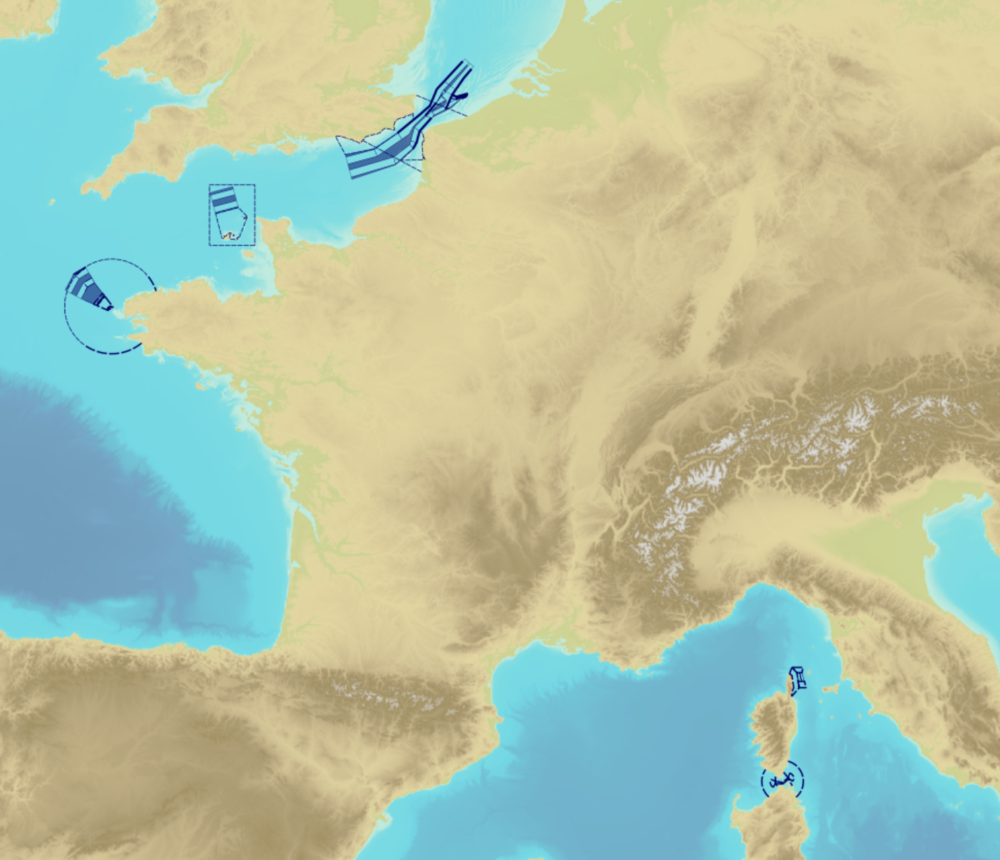
"Traffic Separation Schemes" product contains a description of TSS in French maritime spaces. A TSS is a routeing measure aimed at the separation of opposing streams of traffic by appropriate means and notably by the establishment of traffic lanes. The measures taken aim at improving navigation safety in areas where navigation is threatened by the density of traffic associated with various natural difficulties. Several classes of objects constitute this product, the acronyms used are those of IHO standard S-57: - Traffic separation scheme lane part (TSSLPT): area of a traffic lane in which the direction of flow of traffic is uniform; - Traffic separation scheme boundary (TSSBND): outer limit of a traffic lane part or a traffic separation scheme roundabout; - Traffic separation line (TSELNE): common boundary between two traffic lanes, or between one traffic lane and one inshore traffic zone; - Traffic separation zone (TSEZNE): separation areas between two traffic lanes, or between one traffic lane and one inshore traffic zone, or to the central area of a roundabout; - Inshore traffic zone (ISTZNE): area between the landward boundary of a traffic separation scheme and the adjacent coast; - Precautionary area (PRCARE): area, within defined limits, where ships must navigate with particular caution, and within which the direction of traffic flow may be recommended; - Deep water route part (DWRTPT): sections within which the flow of traffic either follows one defined direction for one-way traffic, or follows one defined direction and its reciprocal for two-way traffic. A deep-water route is a route in a designated area within defined limits which has been accurately surveyed for clearance of sea bottom and submerged obstacles to a minimum indicated depth of water; - Two-way route part (TWRTPT): sections within which traffic flows in two directions along one bearing and its reciprocal. These route parts are generally two-way, but some may be restricted to one-way traffic flow; - Radio calling-in line (RDOCAL_lne) : positions at which vessels are required to report to a traffic control centre.
-

Bathymetric datasets are an extraction of surveys belonging to the Shom public database. For depth up to 50m, the vertical precision of soundings varies from 30cm to 1m and the horizontal precision varies from 1 to 20m. In deep ocean, the vertical precision is mainly around 1 or 2% of the bottom depth. It is sometimes more, it depends on the technology used. The data are referenced to ZH which is assimilated to LAT. Data are corrected for sound velocity variations.
-

The georeferenced digital image solution for the nautical chart is a digital conversion of the corresponding printed nautical chart produced by Shom or its legends, with georeferencing indications and including miscellaneous text.