Toutes les actualités
Implantation de 3 bornes interactives grand public de consultation cartographique
Soumis par le 09/06/2016
Communication
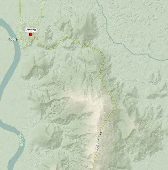
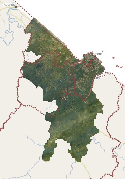
The French Guiana Region wanted to make the general public aware of the geographical knowledge of its territory. To do this, the Territorial Platform for Geographic Information GUYANE SIG has developed an educational and innovative tool for knowledge of the territory for citizens.
This device is materialized by the implementation of 3 interactive touch terminals allowing to navigate on different geographical maps presenting the Guyanese territory. It is therefore possible to read:
- the geography of the territory (aerial and satellite images, relief, communication routes, rivers, etc.);
- public facilities and services (hospitals, firefighters, police, etc.);
- tourist facilities (accommodation, information points, activities, etc.);
- administrative boundaries (municipalities, EPCI, constituency);
- demographic data (population distribution);
- of the cadastral parcel on the territory.
The touch terminals are self-service and can be consulted during the opening hours of the following establishments and buildings:
- main hall of Félix Eboué Airport (in front of the information point);
- lobby of the library of the University of Guyana (in the immediate vicinity of the reception room);
- entrance hall of the Hotel de la Collectivité Territoriale de Guyane (in the immediate vicinity of the reception desk).
|
|
|