 Guyane-SIG
Oceans
Type of resources
Available actions
Topics
Keywords
Contact for the resource
Provided by
Formats
Representation types
Update frequencies
status
Scale
-
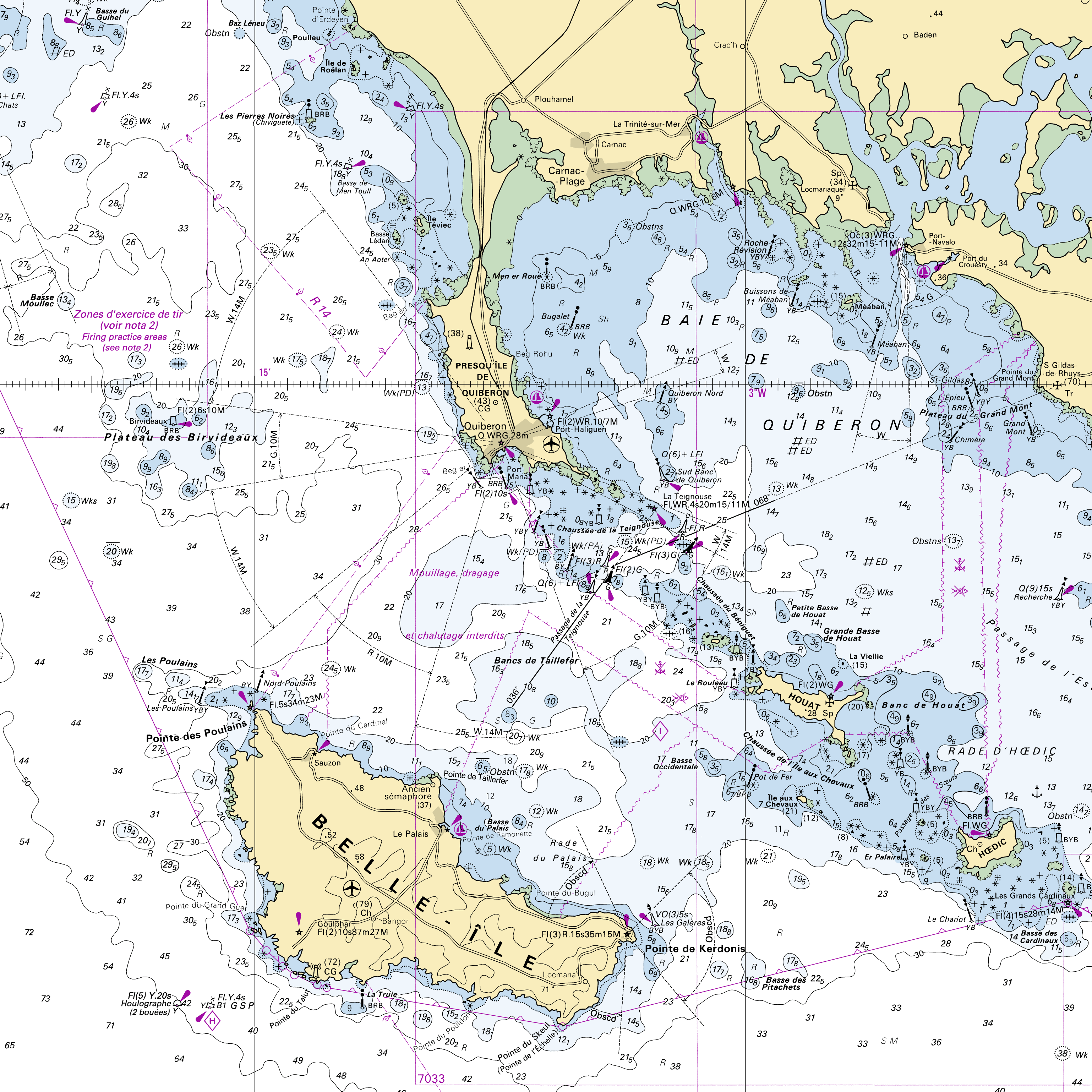
These maps are prepared on the basis of vector-based mapping data (IHO S-57 format) including the detailed description of each object (beacons, wrecks, submarine cables, regulated zones, survey systems, etc.). These maps are the digital equivalent of printed nautical charts.
-
<strong>This data is not up to date with the order dated 30 August 2021 amending the order dated 23 November 1987 on ship safety, which now raises the limit for category 4 ships to 5 miles from the nearest coast.</strong> The navigation category allocated to a ship is indicated on its shipping license, together with any applicable restrictions. This limit was produced by Shom in application of section II.14 of article 1 of decree no. 84-810 amended on 30 August 1984. Navigation categories are defined in article 110.10 of the rules appended to the order of 23 November 1987 on shipping safety.
-

The georeferenced digital image solution for the nautical chart is a digital conversion of the corresponding printed nautical chart produced by Shom or its legends, with georeferencing indications and including miscellaneous text.
-
The “World Seabed Sediment Map” product contains geo-referenced digital data, describing the nature of the sediment encountered in different seas and oceans of the world. The objects are all surface areas and the description of an object includes in particular the nature of the sediment including rock-type bottoms.
-
Wave forecasting models allow the representation of sea states based on a spectral resolution at the global scale or at the scale of ocean basins. This code calculates the evolution of the sea state by decomposing it into a wave spectrum that propagates in different directions and with different periods. During the propagation, the wave energy is increased or decreased by the effects of wind, breaking waves and energy exchanges between the different components. The wave forecasts available on data.shom.fr are calculated with 2 different types of models: MFWAM for the offshore domain (resolution from 0.5° to 0.1°) and Wavewatch III ® (WW3) for the coastal domain (resolution from 2' to 200m). MFWAM is a sea state forecasting model (wind wave and swell) derived from the third generation WAM code (WAMDI Group, 1988). Wavewatch III ® (WW3) is developed in a collaboration between the United States Weather Service (NOAA/NCEP), Shom, the University of Darmstadt in Germany, and other partners. The forecasts published on data.shom.fr are issued from the parameterization carried out and optimized by the Shom and Météo-France within the framework of the Homonim project (national coastal flood/wave/storm warning system).
-
The product "Wrecks and obstructions" contains a description of wrecks and obstructions in the French Exclusive Economic Zone (EEZ) as 2D point objects. Objects of the product "Wrecks and obstructions" are divided into 2 classes: - Wrecks (WRECKS): all or part of a stranded or sunken ship or aircraft; - Obstructions (OBSTRN): object of an artificial nature other than a wreck (for example: container, lost anchor). This product does not concern floating or drifting objects (containers, debris, buoys out of position, ...) which position changes rapidly. <br /> February 17 2026 version
-
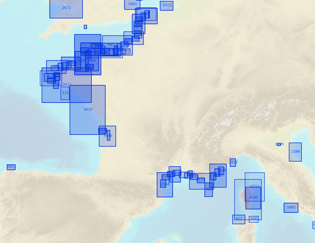
RasterMarine is a series of digital images taken from nautical charts, with no additions, legends or georeferencing information. The RasterMarine range is available at six sets of scales: - RasterMarine10 1:10,000 - RasterMarine25 1:25,000 - RasterMarine50 1:50,000 - RasterMarine100 1:100,000 - RasterMarine350 1:350,000 - RasterMarine1M 1:1,000,000. Unless exceptional circumstances apply, the RasterMarine range is updated on a weekly basis and the modified grid squares are re-published, replacing the previous versions. All corrections, publications, editions and suppressions with an effect on the reference nautical charts are taken into consideration. <br /> 13/05/2026 version <br />
-

This product shows the international distribution of types of tides. Four types of tides exist, and are classified based on the number and height of high and low waters each day: semi-diurnal tide: two high tides and two low tides with approximately the same height are recorded each day. Mixed tides with diurnal inequality: two high and low tides are recorded daily (just like with semi-diurnal tides), however the heights of the high and low waters vary significantly over the same day. Diurnal tides: one single high tide and one single low tide are recorded each day. Composite: tides can be diurnal or semi-diurnal or mixed.
-
Non-georeferenced digital images in JPEG2000 format from former hydrographical survey fair sheets obtained from Shom's historical archives.
-
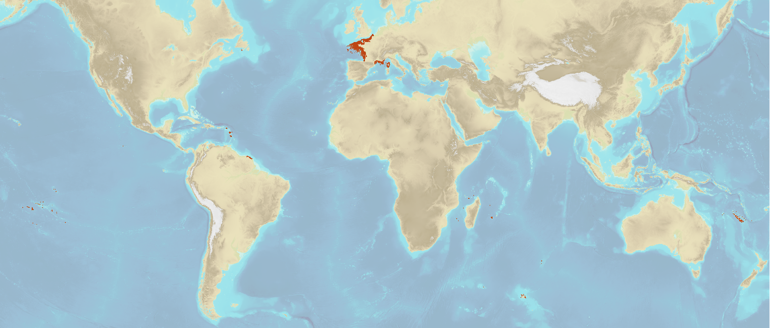
Marine toponymy data layer obtained from French ENC and created using the S23 (4th edition, June 2002). Note: The usual Sea of Japan designation does not imply taking a stand in the dispute between Korea, which names this sea "East Sea", and Japan, which names it "Sea of Japan".