 Guyane-SIG
series
Type of resources
Available actions
Topics
Keywords
Provided by
Years
Formats
Representation types
Update frequencies
status
Scale
Resolution
-
These maps are prepared on the basis of vector-based mapping data (IHO S-57 format) including the detailed description of each object (beacons, wrecks, submarine cables, regulated zones, survey systems, etc.). These maps are the digital equivalent of printed nautical charts.
-

Bathymetric datasets are an extraction of surveys belonging to the Shom public database. For depth up to 50m, the vertical precision of soundings varies from 30cm to 1m and the horizontal precision varies from 1 to 20m. In deep ocean, the vertical precision is mainly around 1 or 2% of the bottom depth. It is sometimes more, it depends on the technology used. The data are referenced to ZH which is assimilated to LAT. Data are corrected for sound velocity variations. <br /> October 27 2025 version
-

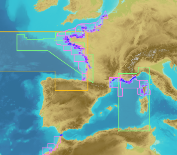
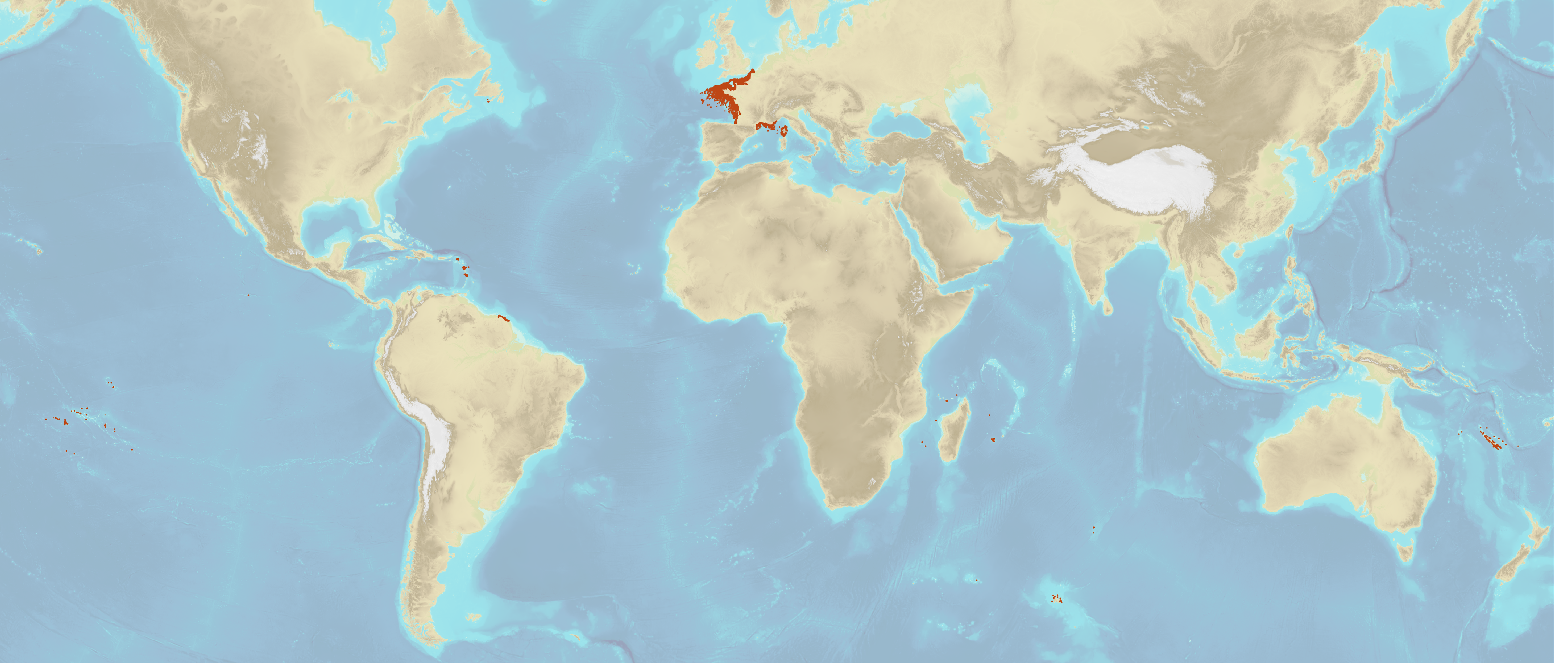
The "Sovereignty and jurisdiction maritime spaces of France" product contains the areas of sovereignty and jurisdiction maritime spaces of France all around the world.<br /><br /> It is constituted of 2D areas objects split into four categories :<br /> - the territorial sea (from baselines to a distance of 12 nautical miles or to maritime boundaries with neighbouring countries);<br /> - the contiguous zone (from 12 nautical miles to 24 nautical miles from the baselines or to maritime boundaries with neighbouring countries);<br /> - the exclusive economic zone (EEZ) (from 12 nautical miles to 200 nautical miles from the baselines or to maritime boundaries with neighbouring countries);<br /> - the continental shelf over the 200 nautical miles limit (from 200 nautical miles from the baselines to the limits recommended by the Commission on the Limits of the Continental Shelf (CLCS) or to the maritime boundaries with neighbouring countries).<br /> Internal waters, which constitute a space of sovereignty beyond the baselines, are not included in the "Sovereignty and jurisdiction maritime spaces of France" product.<br /> The "Sovereignty and jurisdiction maritime spaces of France" product may not be considered as an enforceable right. Only the “Maritime limits and boundaries” product, that can be displayed and interrogated on the website data.shom.fr (maritime boundaries category) and also downloaded on the French national portal of maritime limits (https://maritimelimits.gouv.fr), may be considered so.<br /><br /> December 2022 version.
-

Bathymetric datasets are an extraction of surveys belonging to the Shom public database. For depth up to 50m, the vertical precision of soundings varies from 30cm to 1m and the horizontal precision varies from 1 to 20m. In deep ocean, the vertical precision is mainly around 1 or 2% of the bottom depth. It is sometimes more, it depends on the technology used. The data are referenced to ZH which is assimilated to LAT. Data are corrected for sound velocity variations. <br /> October 27 2025 version
-
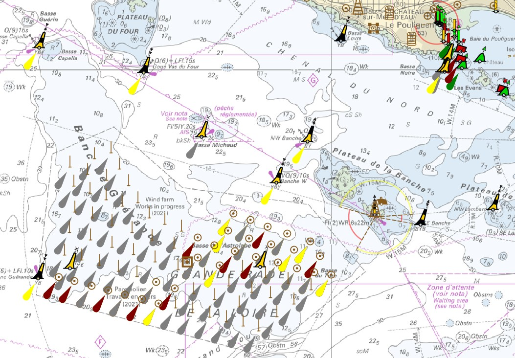
"Aids ton navigation" product contains a description of landmarks, beaconage or buoyage, in the French Exclusive Economic Zone (EEZ). <br /> February 17 2026 version
-

Bathymetric datasets are an extraction of surveys belonging to the Shom public database. For depth up to 50m, the vertical precision of soundings varies from 30cm to 1m and the horizontal precision varies from 1 to 20m. In deep ocean, the vertical precision is mainly around 1 or 2% of the bottom depth. It is sometimes more, it depends on the technology used. The data are referenced to ZH which is assimilated to LAT. Data are corrected for sound velocity variations. <br /> October 27 2025 version
-

Shom manages a network of permanent digital coastal tide-gauges on French coasts: the RONIM Sea Level Observation Network. Most tide-gauge observatories are partnered with one or more local partners.<br /><br /> Four main types of data are available for download:<br /> - “Raw high frequency" data: raw observations neither validated nor evaluated, obtained directly from the sensor. 1-minute measurement; integration time 15 seconds (on the minute); sampling period: 1 second.<br /><br /> - "Raw non-real time" data: raw observations neither validated nor evaluated, obtained directly from the sensor. 10-minute measurement; integration time 121 seconds (around every 10 minutes); sampling period: 1 second.<br /><br /> - "Validated non-real time" data: observations checked and validated by Shom from the "Raw non-real time" data. 10-minute measurement; integration time 121 seconds (around every 10 minutes); sampling period: 1 second.<br /><br /> - "Validated hourly" data: observations checked and validated by Shom, generated from "Validated non-real time" data. Hourly measurement obtained from the Vondrak filter with triangular weighting. The hourly height cannot be calculated in the event of an observation gap greater than 1.5 hours.
-
The product "Wrecks and obstructions" contains a description of wrecks and obstructions in the French Exclusive Economic Zone (EEZ) as 2D point objects. Objects of the product "Wrecks and obstructions" are divided into 2 classes: - Wrecks (WRECKS): all or part of a stranded or sunken ship or aircraft; - Obstructions (OBSTRN): object of an artificial nature other than a wreck (for example: container, lost anchor). This product does not concern floating or drifting objects (containers, debris, buoys out of position, ...) which position changes rapidly. <br /> February 17 2026 version
-

The georeferenced digital image solution for the nautical chart is a digital conversion of the corresponding printed nautical chart produced by Shom or its legends, with georeferencing indications and including miscellaneous text.